This is the documentation for the npeval package in version 2026.160#ffdaee033.
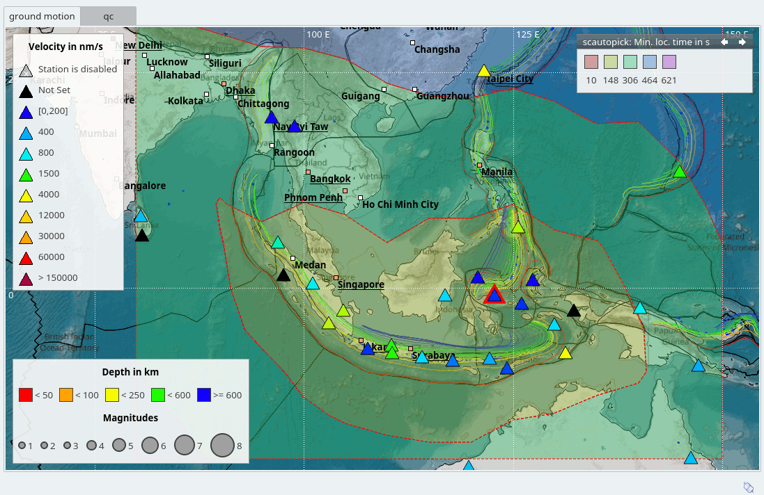
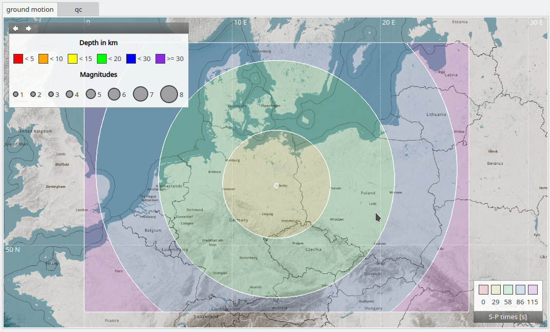
npeval estimates network performance from waveform QC and geometry.
EEW parameters for points of interest (POIs) are computed.
Introduction